
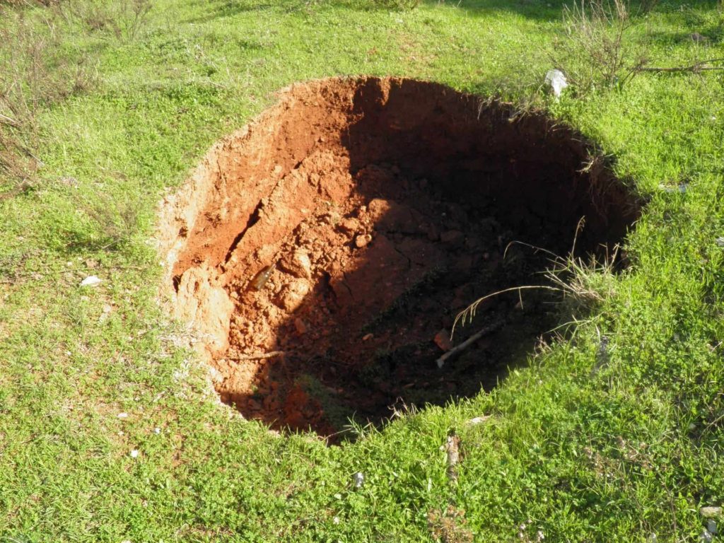
News stories about sinkholes can be terrifying. Holes open in the earth, swallowing streets, cars, lawns, and homes. Do you worry about potential impacts on your property? Ground-penetrating radar (GPR) can help locate underground sinkholes.
A sinkhole is a void, hole, or depression in the ground caused by a collapse of the surface layer. Alternatively known as dolines, cenotes, swallets, swallow-holes, or shakeholes, a natural geologic process or man-made activity can form these.
A sinkhole can vary in size from small voids to massive “house-eating” holes and may form gradually over time or suddenly.
When underground water washes away soft rocks like carbonate rock, limestone, or salt beds, caverns can form.
If the underground cavern space gets too large, the ground above collapses and forms a hole.
According to the United States Geological Survey, about 20 percent of the U.S. land is susceptible to sinkholes.

In the Northern Arkansas Ozark area, properties are at risk of sinkholes forming due to karst from carbonate rock. In the southern portion of the state, evaporated rocks, such as salt and gypsum, are the more likely cause of this phenomenon.
Though it may seem like sinkholes open up “out of nowhere,” some signs may indicate a problem on your property.
Signs include:
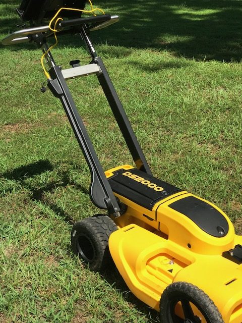
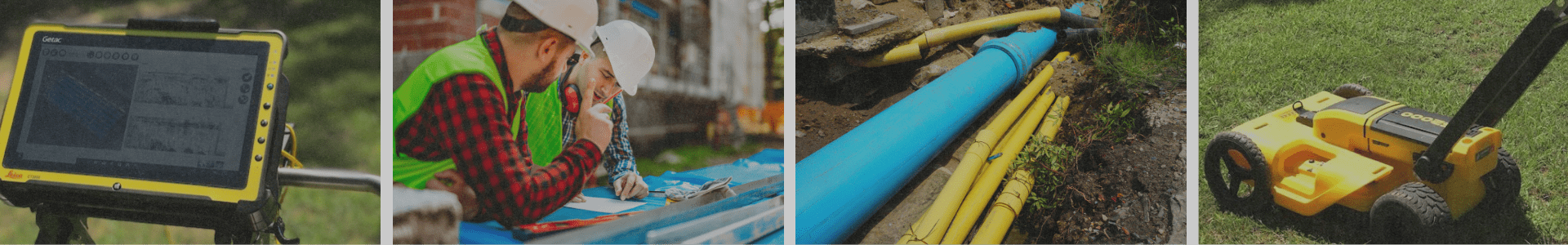
Ground-penetrating radar is designed to detect subsoil objects, including sinkhole voids.
A GPR transmitter uses high-frequency, polarized radio waves. The radio waves are transmitted into the ground.
Radio waves may reflect, refract, or scatter back to the surface when encountering an object or a boundary between materials.
Variations can be recorded using a receiving antenna. The result is a map of what’s beneath the surface.
Ground-penetrating radar is ideal for detecting anomalies in the subsurface, such as voids that could cause sinkholes.
For more information or to find out how GPR can work for you, contact GPR Arkansas & Geotechnical Services LLC.