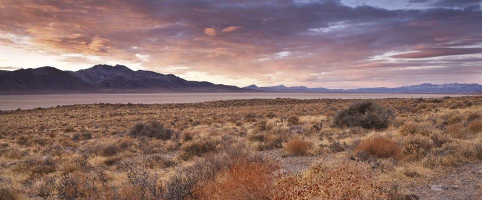
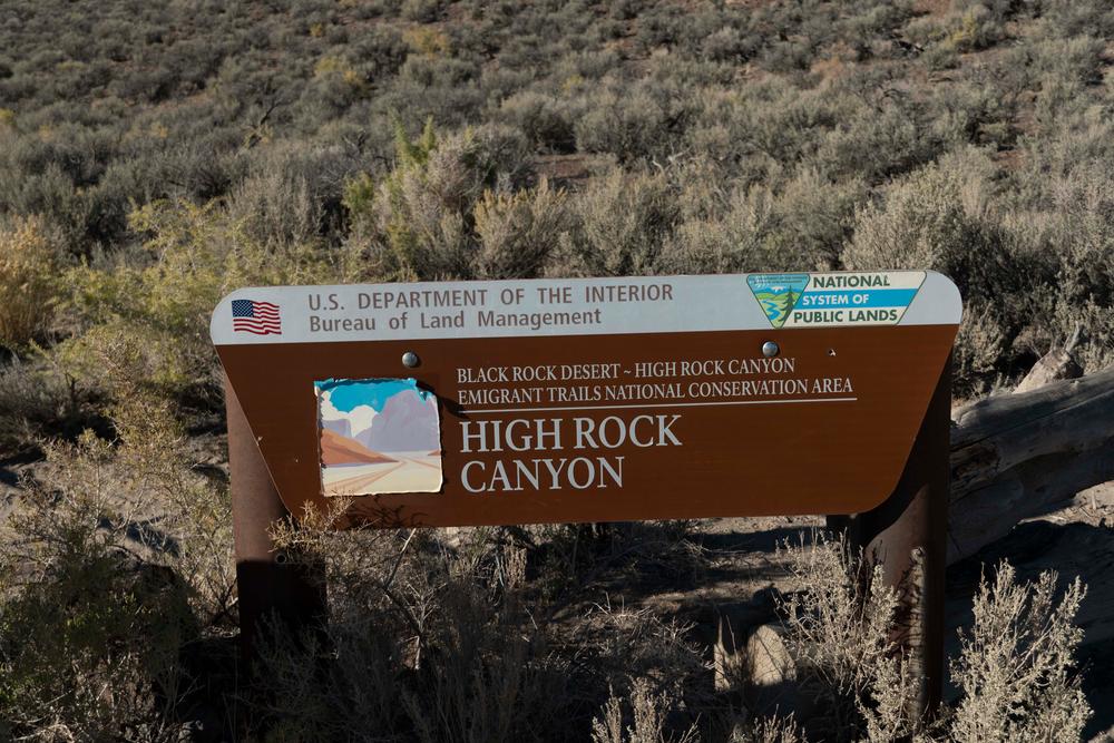
The remains of prehistoric Lake Lahontan and its surrounding mountains are what now make up the Black Rock Desert. The Black Rock-High Rock Emigrant Trails National Conservation area covers about 800,000 acres in Northwestern Nevada and offers countless recreational opportunities. Famous for events such as the 1997 setting of the land speed record (763 mph!) and the week-long Burning Man Festival that attracts thousands of visitors annually. Visitors interested in off-highway vehicle recreation will be welcomed by hundreds of miles of trail networks that include the historic Applegate Trail, as well as a vast open playa with endless opportunities. Road services vary as you travel from the hard-packed playa to the softer soil of its outer edges, and transitions to exposed rocky conditions once you venture up into the canyonlands.
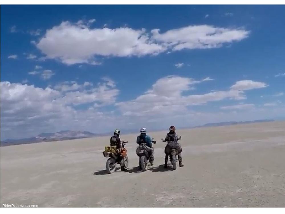
You can explore this massive piece of land by travelling along some of the 120 miles of historic emigrant trails or riding across the world-famous playa. The Black Rock Desert has an adventure for everyone! Recreational opportunities in the area include hiking, hunting, rock-hounding, hot tubbing, and stargazing. The Steamboat Rock Trail is very short (~0.25 miles one way), but will reward with a great view of the Black Rock playa and desert - trailhead located at: 40.848799, -119.222537. Roadways to the trailheads can be rugged - 4WD is highly recommended.
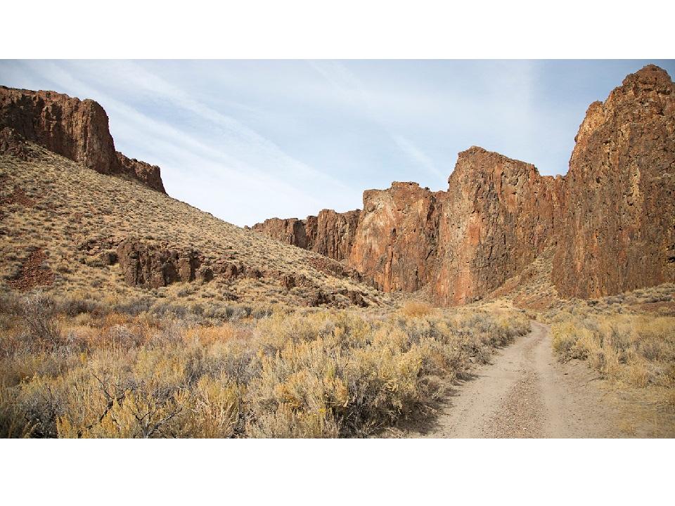
Test your speed on the world famous Black Rock Desert Playa that is 400 square miles large, drive along the Applegate National Historic Trail, try a technical drive through the High Rock Canyon, or discover some of the areas hidden hot springs.
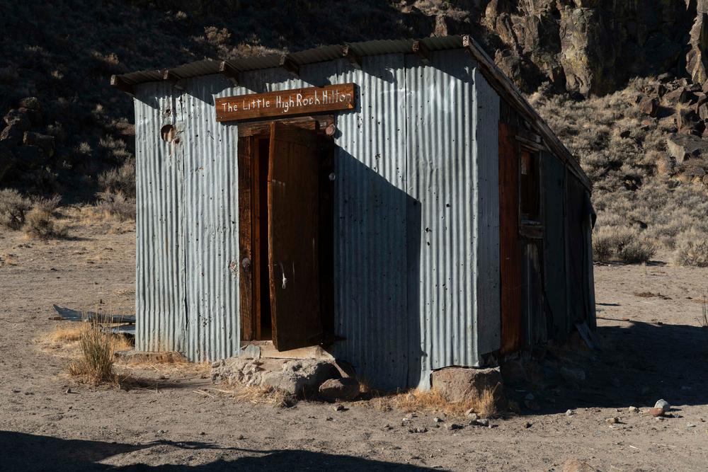
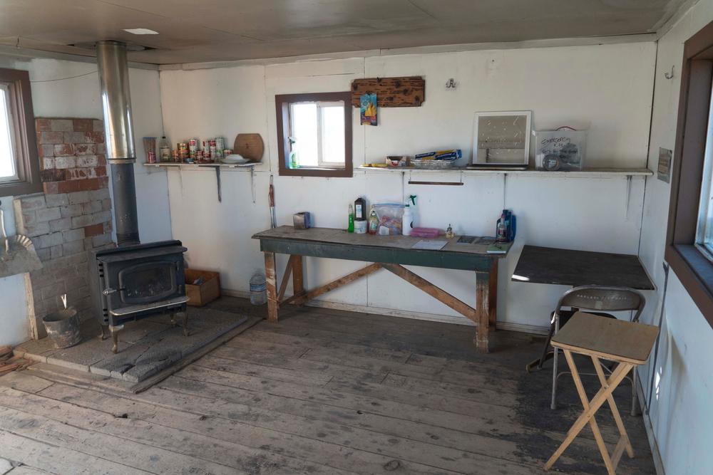
Dispersed camping is available throughout much of the Black Rock Desert unless otherwise posted. Primitive camping is available within the Soldier Meadows Hot Spring Area of Critical Environmental Concern (ACEC) which includes a cabin and vault-toilets. To the north, Soldier Meadow Ranch is a private campground that provides lodging and meals for a fee.
Caution!! During wet seasons the playa, and some of the surrounding areas, can become impassable to motor vehicles. While the playa may appear dry, there may be deep mud just below the surface. It is important to note that OHV use is not allowed on the dunes and hummocks surrounding the playa.
Traveling in groups is always a good idea, as well as informing someone of where you will be going due to the remote nature of the conservation area. There is no natural source of safe drinking water, so be prepared to bring in enough water or a way to treat water. This area is very remote and cellphone coverage is not guaranteed. Plan ahead before recreating!
Given that portions of the Black Rock Desert are near designated wilderness, only hikers and equestrians are allowed within the wilderness boundary. Motorized and mechanized use is only permitted on surrounding non-wilderness trails. Please be respectful of the wilderness boundary and only travel on designated roads and trails for your activity type. Horses are allowed and only certified weed free hay can be brought in.
Black Rock Visitor Center
200 Transfer Road
Gerlach, NV 89412
(775) 557-2503
*ALERT* Facilities Closure: The Black Rock Visitor Center (40.659462, -119.369942) is temporarily closed. The front lobby and public vault toilet are closed until further notice!
Black Rock Desert-High Rock Canyon Emigrant Trails National Conservation Area website
The Dirt: Black Rock Desert | OFF-ROAD Nevada website
For more information, or current playa conditions, visit the NCA website or contact:
Download map files for your own use.
From Reno to Southern Portion of Black Rock-High Rock Emigrant Trails National Conservation area:
This area is known to have Cryptobiotic soil. Please stay on designated roads, trails and washes and only camp at established sites to avoid disturbing the crust soil. Learn more about the importance of cryptobiotic soil here.
Success! A new password has been emailed to you.